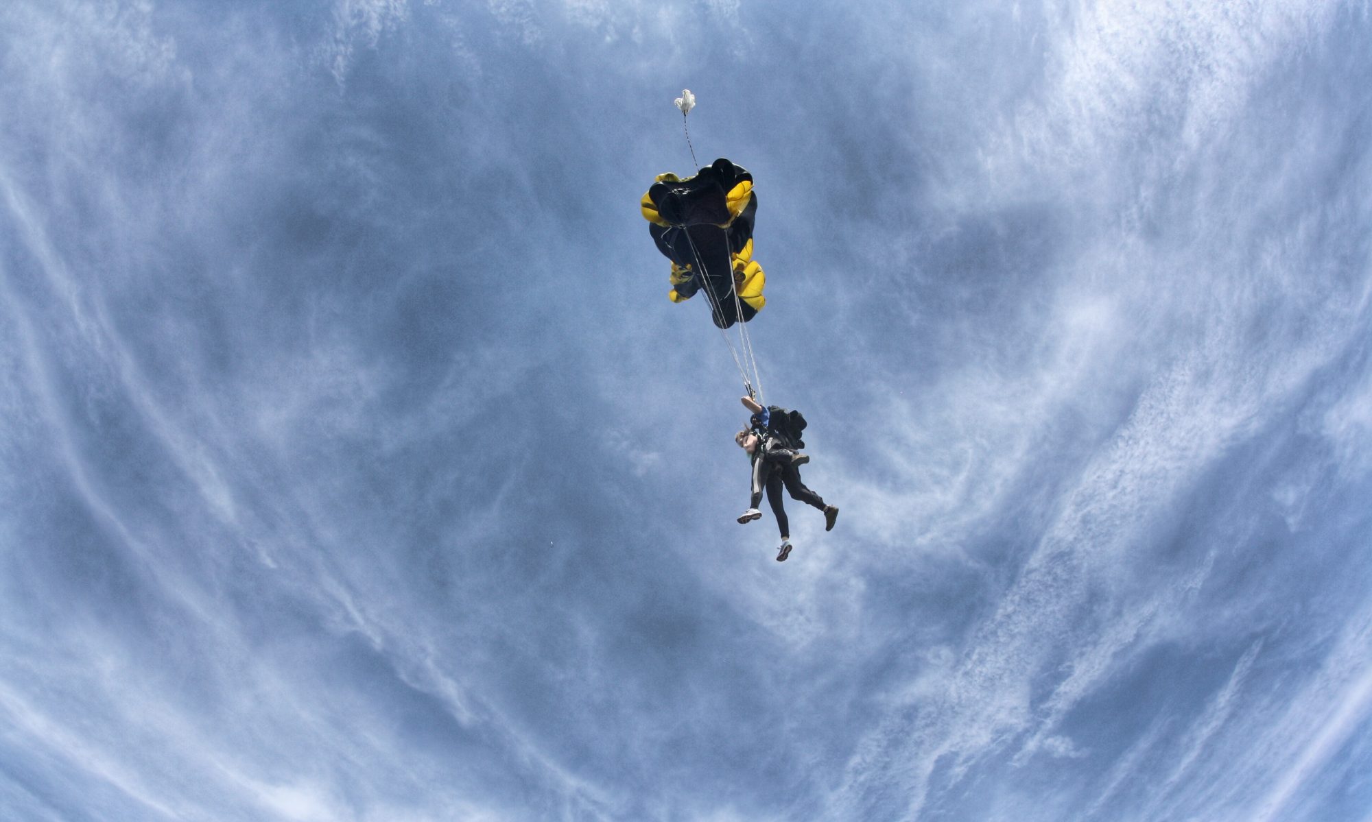

Tallulah Gorge has been a very popular tourist attraction since the 19th century. When the railway was built, it became one of the busiest tourist destinations in Georgia. They say that during that time, on a Sunday, more than 2,000 people would be seen near the gorge, at the resort or mingling in the bars. Fun fact: Nik Wallenda is taking a look at doing the daredevil tightrope walk across the gorge in the next three years. Karl Wallenda was the second man to walk across the gorge on a tightrope. The huge towers that were used to hold the rope are still there today and make for some cool photographs. 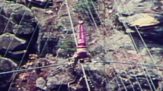
During these times, there wasn’t a dam holding back the water. It was a raw open and incredibly amazing place. Not to say it isn’t amazing now, but they say the tourism died when the dam was built. Prior to the dam you could hear the roar of the water for miles and after it became deafening quiet. You often hear that Tallulah means “loud waters” in Cherokee but in truth, the word has no meaning.
 A group of tourist around 1894 at Tallulah mulling around.
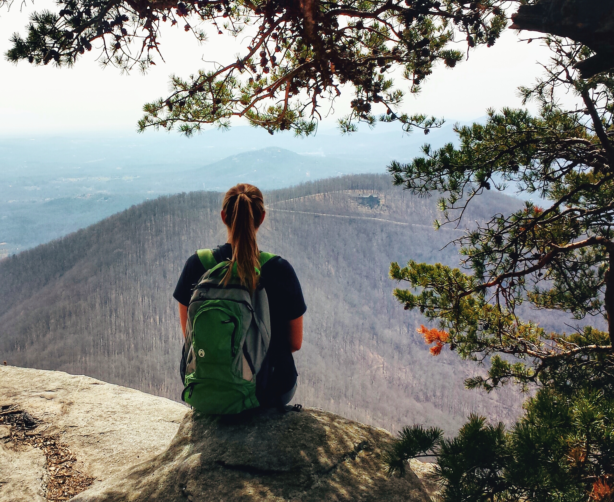
After tourism dwindled, Zell Miller and Georgia Power got together and created Tallulah Gorge State Park. While it isn’t 2,000 people, a nice Sunday and the park is brimming with people. It is in no means dead and quiet. It was a rare moment to hike the North/South Rim trails and not see someone. The water is just an amazingly clear and blue so you should go on a nice day to really get the colors!
Anyone know why or how the gorge happened? If you were going to say it was caused by the double folding of the Earth’s crust during the formation of Pangaea, you would be correct. The gorge is a very steep place and is rich with….steps. Yes, steps and many of them. Prepare thy self for steps. There’s also a pretty sweet suspension bridge that takes you to the other side after you have contemplated suicide on the steps. You can do the North and South Rim trail in about 2 hours. The total loop is 3 miles around and I will copy and paste the trail guide for you on this page but you can also find it on the Tallulah Gorge State Park website. Note that this is just the North and South Rim trail as you need a permit to hike the Gorge Floor. I really wanted to do that but I hiked this day on my own and it’s a pretty dumb idea to do that by yourself. If you choose to do the gorge floor it is advisable to get to the state park quite early and coordinate with the park website to find out when they do the dam releases. They only give out a 100 permits a day and you must be wearing appropriate shoes or they will say, “No gorge for you!” I will be hiking the gorge floor soon now that the weather is warming up. Check back for that post later.
Here’s the rim trail info:
NORTH & SOUTH RIM TRAILS (hikers only)
3 miles, round-trip. Mulched surface with exposed roots. Rated moderate.
The North and South Rim Trails consist of 3 miles round-trip which will take approximately 2 hours to hike. It is a mulched trail with exposed roots that is a leisurely walk. From the Interpretive Center there is a recycled rubber tire trail that accesses Overlooks 2 and 3.
North Rim Trail – Access this trail behind Interpretive Center. It is approximately 3/4-mile one-way, moderate with some inclines and stairs. This trail has five Scenic Overlooks described below:
1. Best southern view into the gorge. Oceana Falls is below, with Bridal Veil Falls at the far end of the gorge. Tightrope walker Karl Wallenda walked from this overlook to his tower on the south rim in 1970. Another aeralist, Professor Leon, made a similar walk from the north to the south rim in 1886. Gorge depth is 750 feet.
2. View of L’Eau d’Or (pronounced Ladore) Falls, top of Tempesta Falls, and Hawthorne Cascade and Pool. Gorge depth is 350 feet.
3. View of L’Eau d’Or Falls, Hawthorne Pool, and remains of a water compressor plant used in building Tallulah Falls Dam.
4. Good view of Tallulah Falls Dam (completed in 1913) and upper portions of the gorge.
5. View of upper gorge and southern view to Hawthorne Pool and Overlooks 2 and 3. Gorge depth is 250 feet.
South Rim Trail – Located on the opposite side of the gorge from the Interpretive Center and is approximately 3/4-mile one-way, moderate with inclines. This trail has five Scenic Overlooks described below:
6. View of Hawthorne Pool, North Rim Trail Overlooks 2 and 3, top of Tempesta Falls and down gorge towards Hurricane Falls. Gorge depth is 350 feet.
7. View of Hawthorne Pool, Tempesta Falls and Pool. Gorge depth is 400 feet.
8. View of Hurricane Falls and Pool, “Devil’s Pulpit” outcrop below, and the Interpretive Center is across the gorge. Gorge depth is 500 feet.
9. View of Hurricane Falls, Oceana Falls, Caledonia Cascade (600 feet), and North Rim Overlook 1. Gorge depth is 650 feet.
10. View of Caledonia Cascade and the Wallenda north tower area. Bluff to far right is approximately 1,000 feet high


